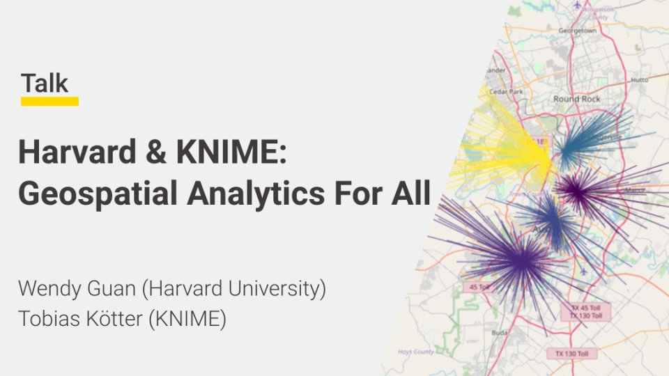
Geospatial data is location data at a specific time. The additional dimensionality of ‘location’ and ‘time’ can be used to uncover unprecedented connections between variables, as well as identify patterns and trends within the data. This is why geospatial data can prove invaluable to organizations for site optimization, fraud detection, supply chain planning and much more.
However, accessing and analysing this data has traditionally required specialised expertise and advanced coding skills. Since the latest release of KNIME and the Geospatial Analytics extension, this is no longer the case.
Join the webinar to learn what geospatial data is, why it is relevant and how anyone with or without coding experience can build interactive geospatial applications. After a short intro by Dr. Wendy Guan, Executive Director of the Center for Geographic Analysis at Harvard University, we will delve into the Geospatial Analytics extension to access, calculate, manipulate, transform, convert and visualize geospatial data in an interactive Data App.
FAQ
You’ll receive a link with your registration confirmation. Make sure you have a stable internet connection!
Absolutely - fire away!
Download the latest free, open source version of KNIME here: knime.com/download.
Check out our E-Learning Course, KNIME Books, Cheat Sheets, KNIME Forum, and KNIME Hub.